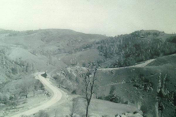
The fundamental principle of the Blue Ridge Parkway is one of simplicity. the road should not draw attention away from the natural setting. Planners paid extraordinary attention to every detail – even the smallest elements like rock walls, bridges, and steps – so that each would appear to be part of the environment.
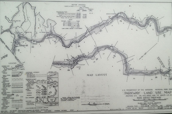
The parkway you see now is based on thousands of carefully crafted plans and drawings. The design process was lengthy and began with tracing out the route on topographic maps. Master plans for each creation area were drawn and redrawn. Engineers drafted drawings of the 26 tunnels, 264 overlooks, and 168 bridges. Then hundreds of Parkway Land Use Maps (PLUMs) captured the “as-built” details implemented during construction. The PLUMs show the location of the motor road, park structures, roadside plantings, and other features. The PLUMs still guide Parkway staff in developing work plans to manage and maintain park landscapes and structures.